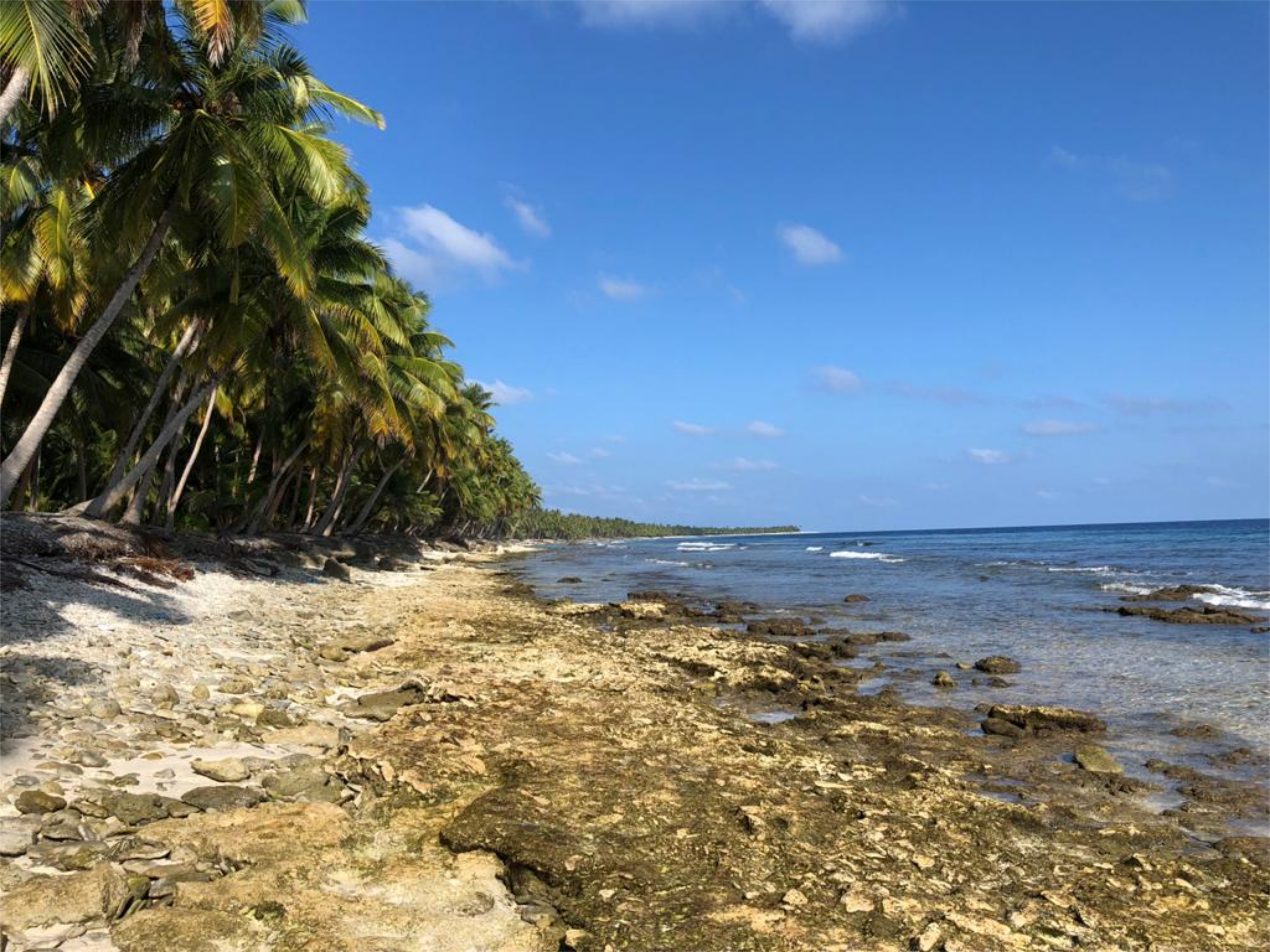
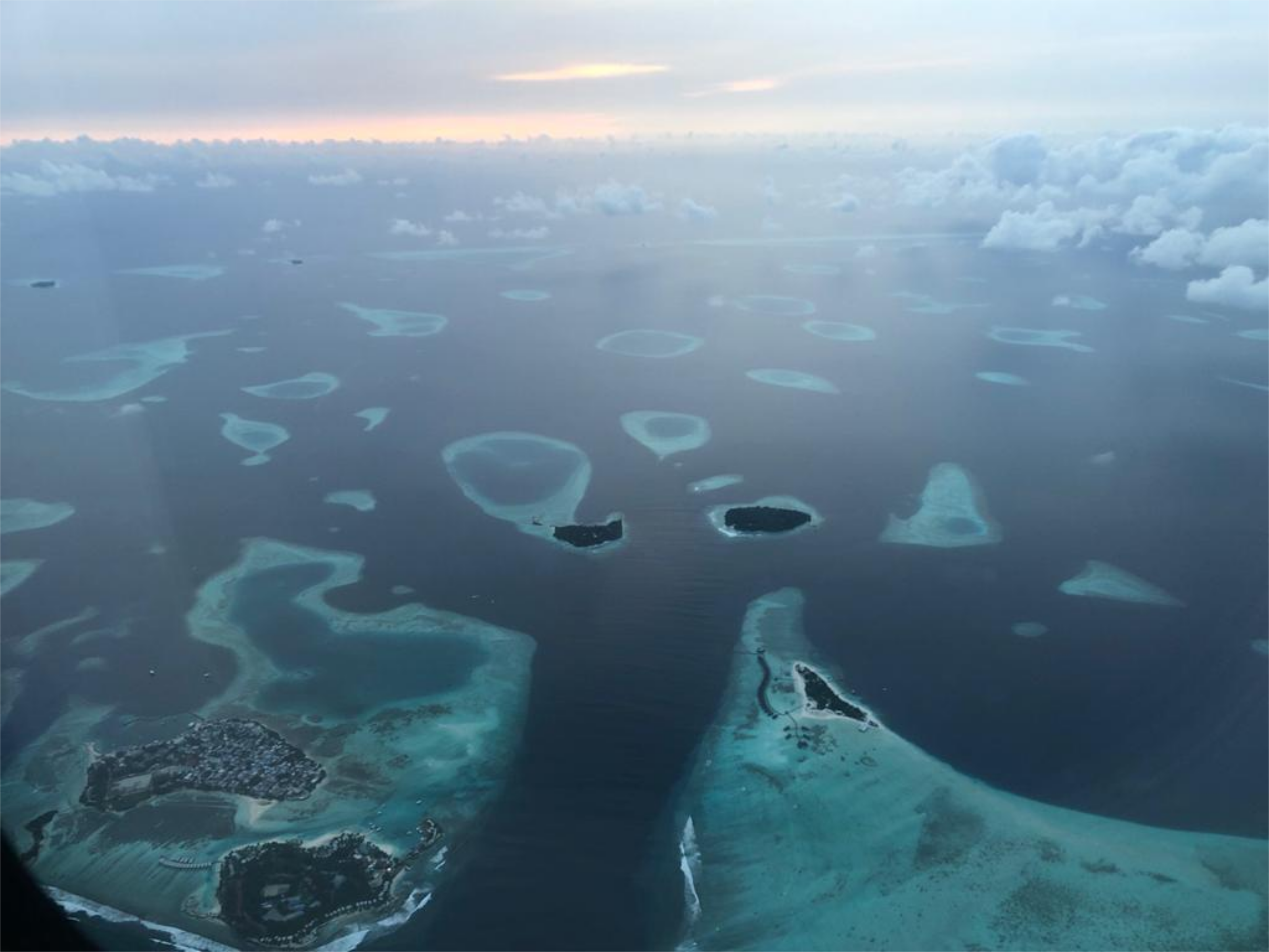
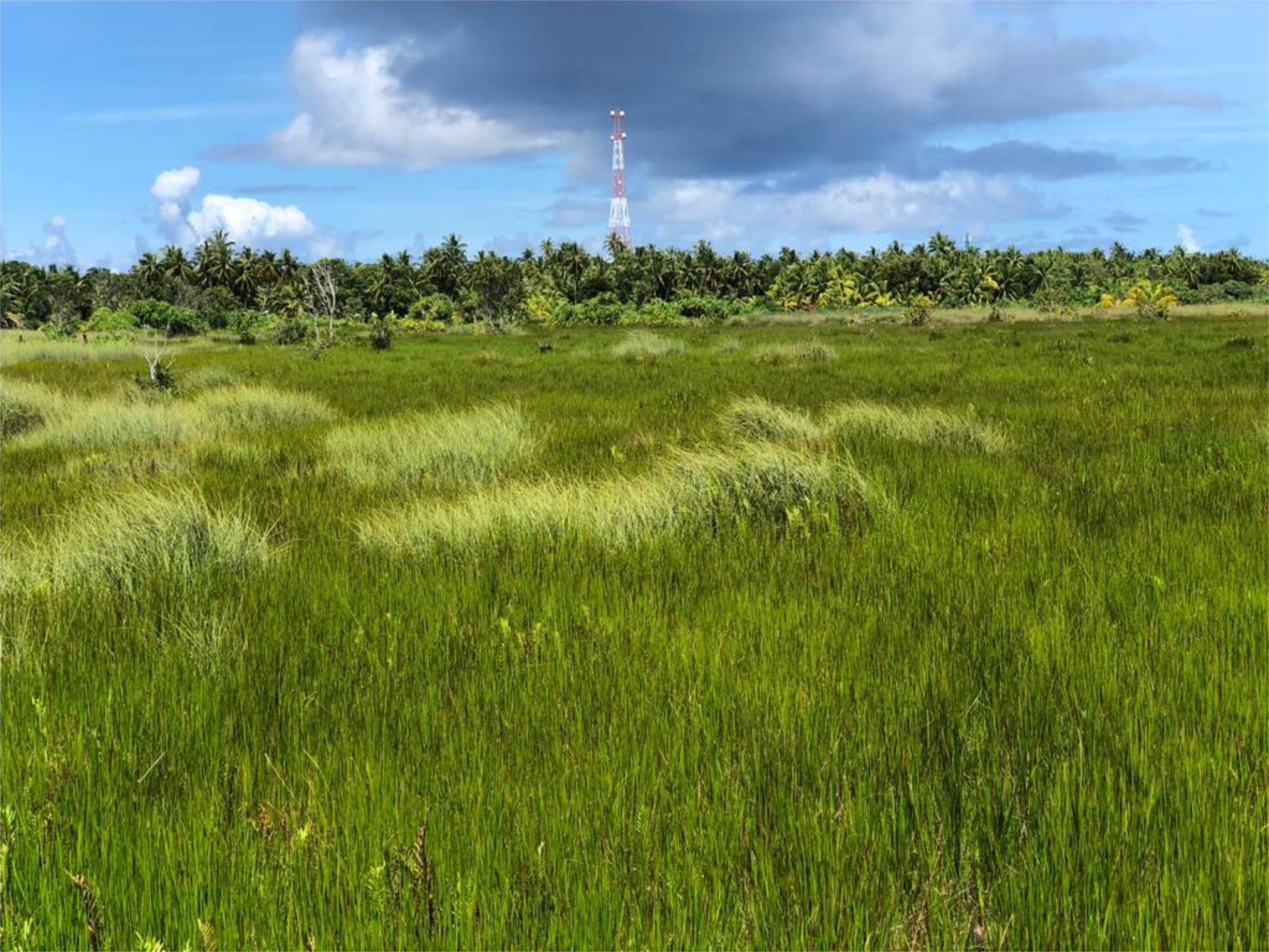
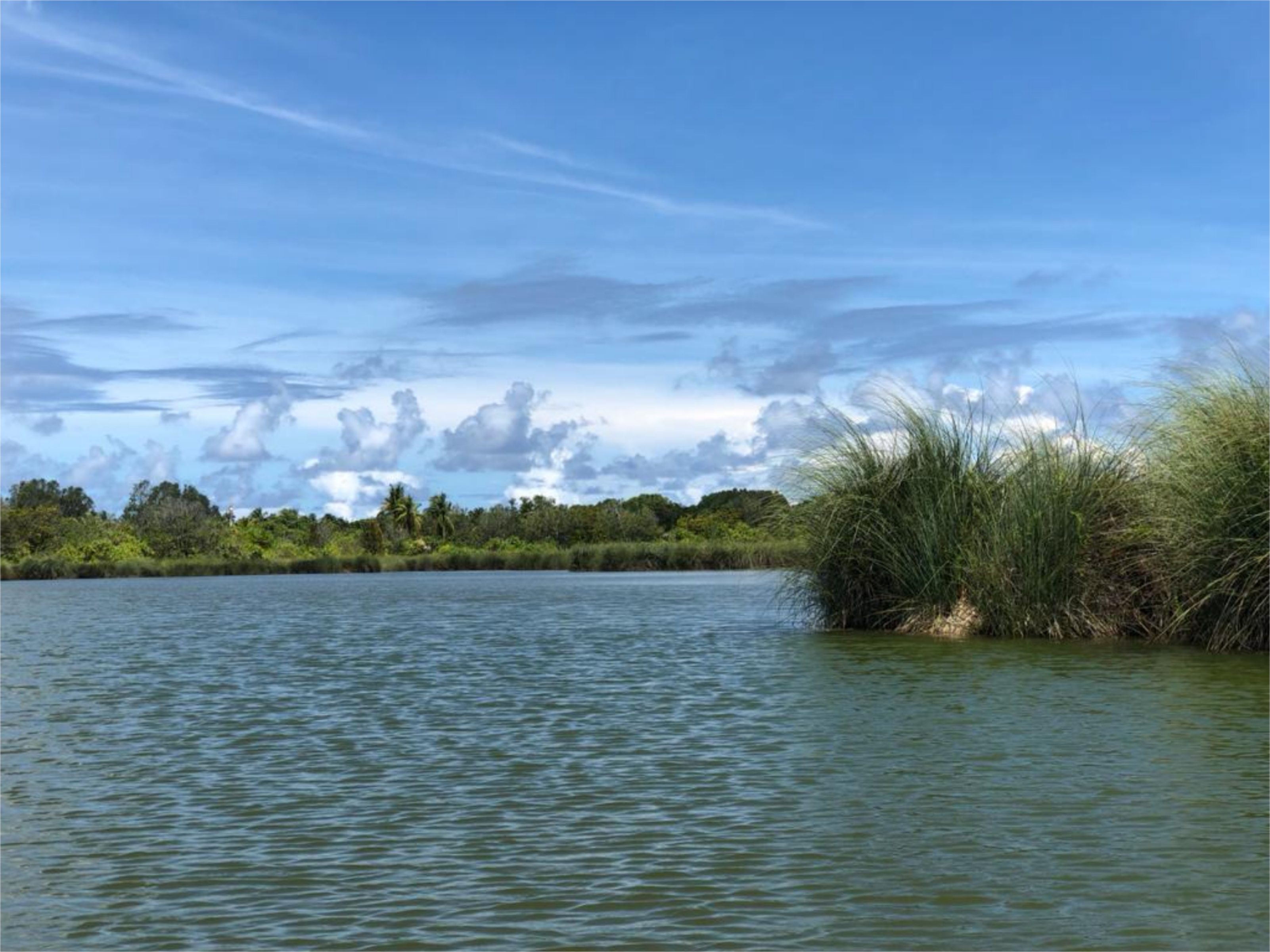
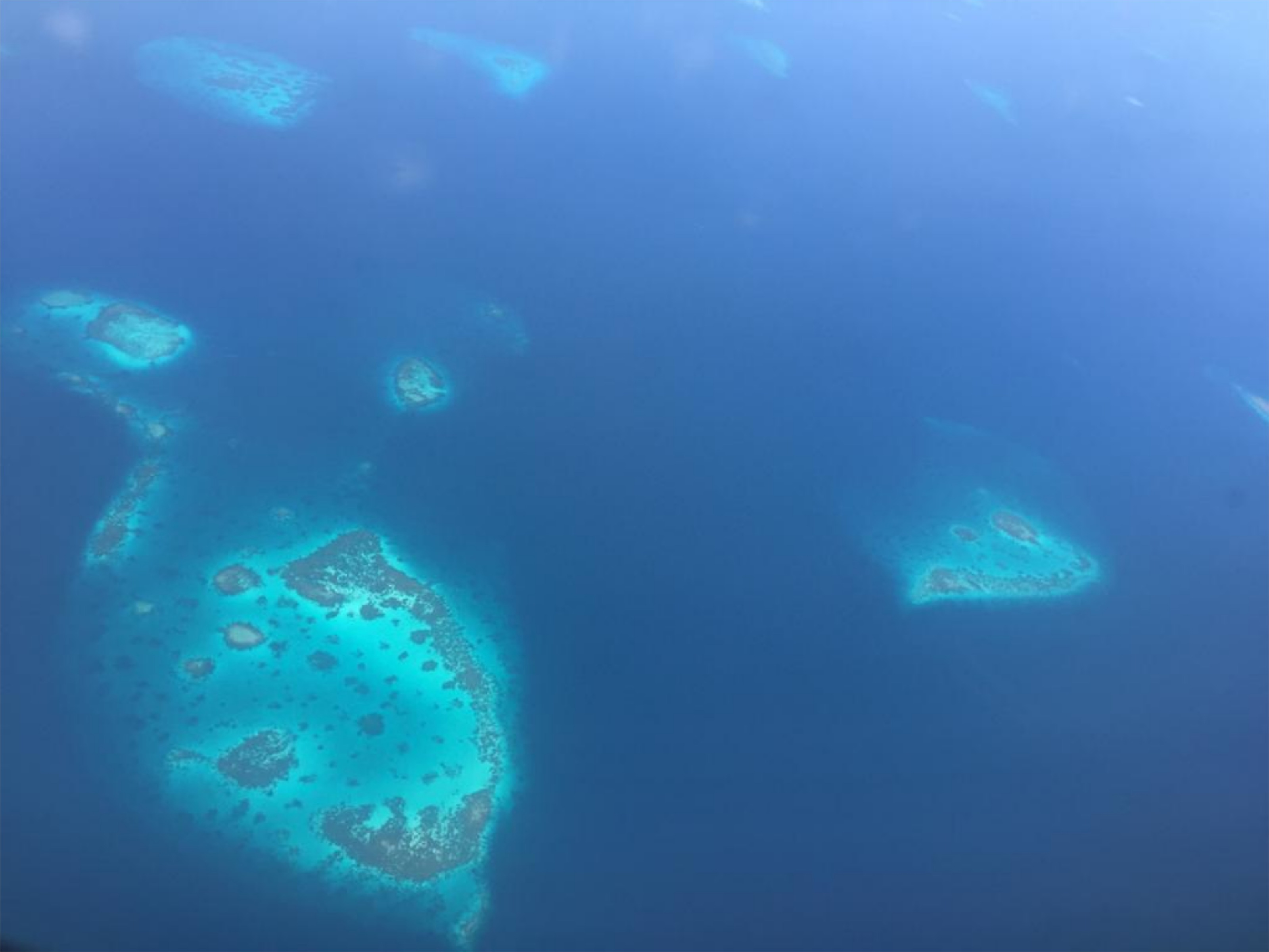
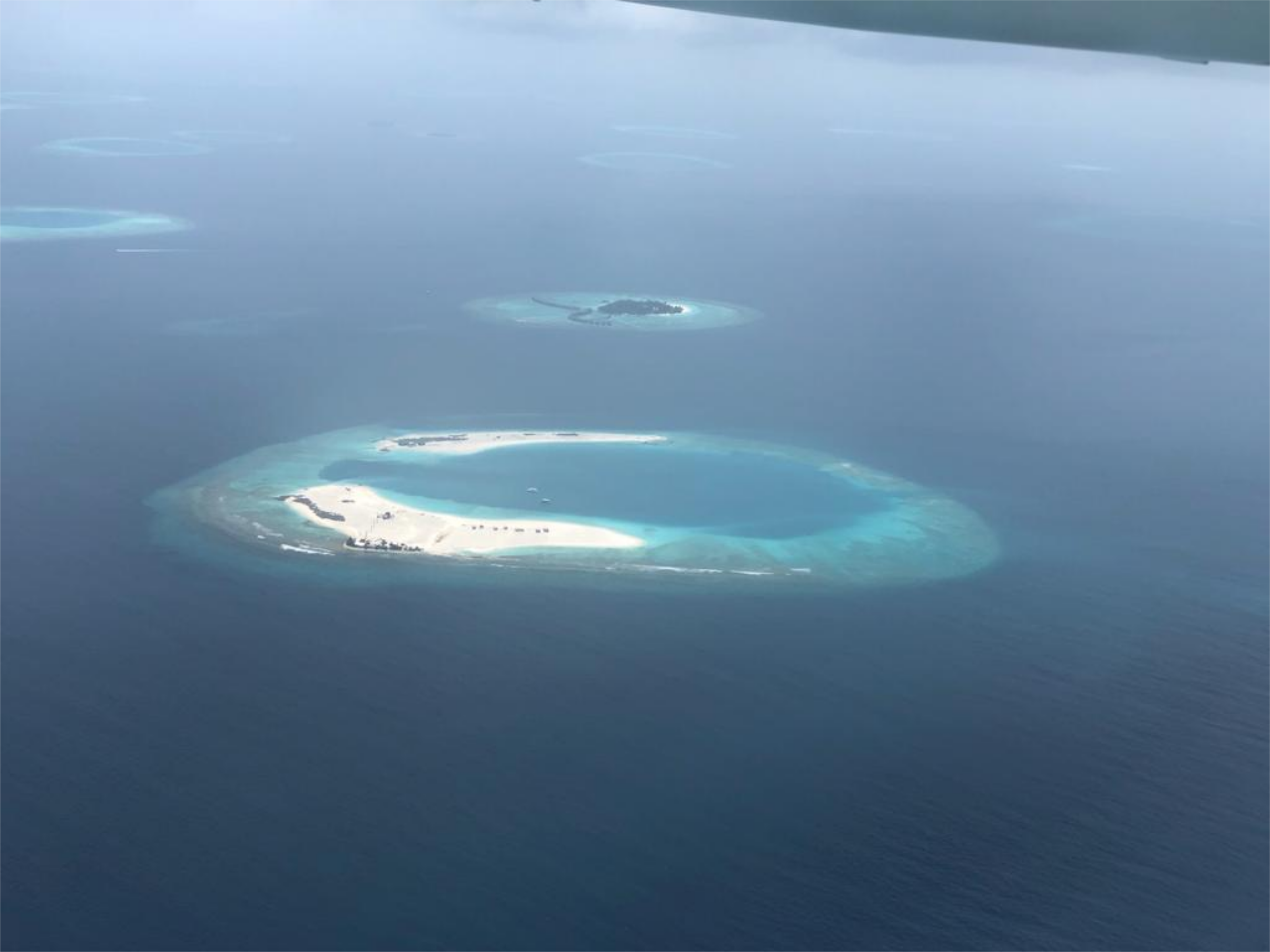
The project aims to create a “one-stop shop” that gathers and interprets island-specific data across tropical regions, providing a freely accessible tool to policymakers and to the population equally ensuring transparency of information between stakeholders. The project currently focuses on the central Indian ocean regions of the Archipelago, and to an extent the Chagos Archipelago but could, with support, be rolled out to any other islands with tailored specificity. The tools provided are based on the Google Earth Engine, exploits nearly 40 years of remote sensing products from a variety of satellite platforms, as well as the latest global climate model forecasts.
The project uses all open source tools, and the code is accessible on github. We welcome any contribution in terms of data, code in anyway possible.
The project is brought to you by :
Tools are grouped to different categories, and each tool each contain instructions of how to use. For ideas on how to use the tools we recommend visiting the FAQ page.